GPS3D让您浏览地球的3D纹理映射模型。你可以点在不同区域的行星,并得到它从互联网上下载地图和“粘”到他们的3D模型。它也可以连接到一个全球定位系统接收器单元和显示旅行,当前位置,和卫星轨迹。它可以让你衡量的earthe表面的距离。
GPS3D
支持的操作系统
类似的软件
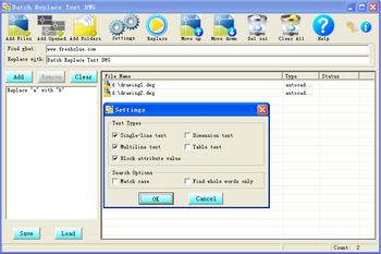
Batch Replace Text DWG
22 Jan 15
WireFusion Free Edition
11 Jul 15
CoCreate OneSpace Modeling Personal
21 Sep 15
Pelican3d Models
22 Sep 15
意见 GPS3D
最近浏览的软件

Batch Photo Resize 16 Apr 15

Everything Elio 21 Sep 15
-
MDP3880W-(B) Data/Fax PC99 Modem (Zeus) V161.000G (WOR Fix) version A04 7 Dec 15
-
Toshiba Portege Z930-B Synaptics Touchpad Driver for Windows 7 64-bit 18 Mar 16
-
Protector Plus Virus Database 31 Dec 14
-
OBJ Import for IntelliCAD 25 Oct 15
-
Magic Image 29 Oct 15

Agics Systemscan 15 Apr 15
-
ASIX AX88178A USB 2.0 to LAN Driver for Windows 8.1 64-bit 12 Mar 16

Intrusion Detection System - SAX2 18 Feb 15
热门软件
-
DAVID-Laserscanner 27 May 15
-
KMotionCNC 23 Sep 15

Pdplayer (64-bit) 7 May 15
-
OBJ Import for AutoCAD 22 Sep 15
-
IGES Import for AutoCAD 23 Sep 15

QCad 12 Apr 18
-
PowerDraw 24 Sep 15
评论没有发现